Xander Roth · 19 October 2026
Halden's Volunteer Mapping Project Charts Shifting Bird Migration Patterns Across Local Wetlands
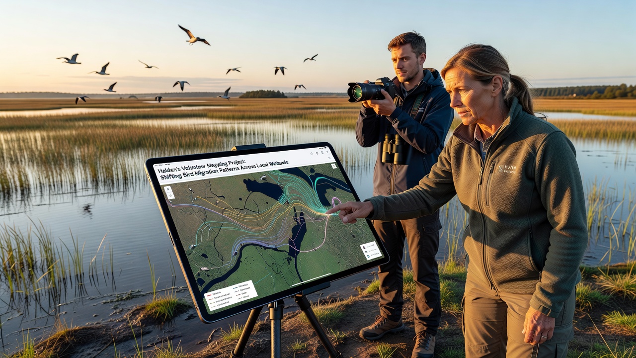
Halden's volunteer mapping project has tracked changes in bird migration routes through local wetlands since its launch in 2023, and data collected through October 2026 shows measurable shifts in arrival times and species distribution. Volunteers equipped with GPS devices and standardized observation protocols record sightings across multiple sites along the Iddefjord and surrounding marshlands, and the resulting datasets feed into regional environmental databases maintained by Norwegian authorities.
Project Origins and Structure
Local environmental groups initiated the mapping effort after preliminary surveys indicated alterations in traditional flyways, and coordination now involves partnerships with the Norwegian Environment Agency alongside university researchers from the University of Oslo. Participants undergo training sessions that cover identification techniques for common species such as barnacle geese, Eurasian teal, and various waders, while data entry occurs through a shared digital platform that timestamps each observation and links it to precise geographic coordinates.
The project operates on a seasonal schedule that peaks during spring and autumn migrations, and teams divide the wetlands into grid sections to ensure comprehensive coverage without overlap. Equipment includes binoculars, field guides, and mobile applications that sync records in real time, and weekly briefings allow volunteers to review preliminary maps and adjust survey routes based on emerging patterns.
Data Collection Methods and Volunteer Contributions
Observers log details including species counts, behavior notes, and weather conditions at each checkpoint, and these entries undergo validation by project coordinators before integration into the central database. In 2025 alone, more than 180 volunteers contributed over 4,200 individual records across 12 wetland zones, and the cumulative dataset now spans three full migration cycles with consistent methodology applied throughout.
Mapping software generates heatmaps that highlight concentration areas and route deviations, and these visualizations reveal earlier departures for several duck species compared to records from the previous decade. Cross-referencing with satellite imagery helps confirm habitat changes such as altered water levels or vegetation shifts that may influence bird movement decisions.
Observed Shifts Documented Through October 2026
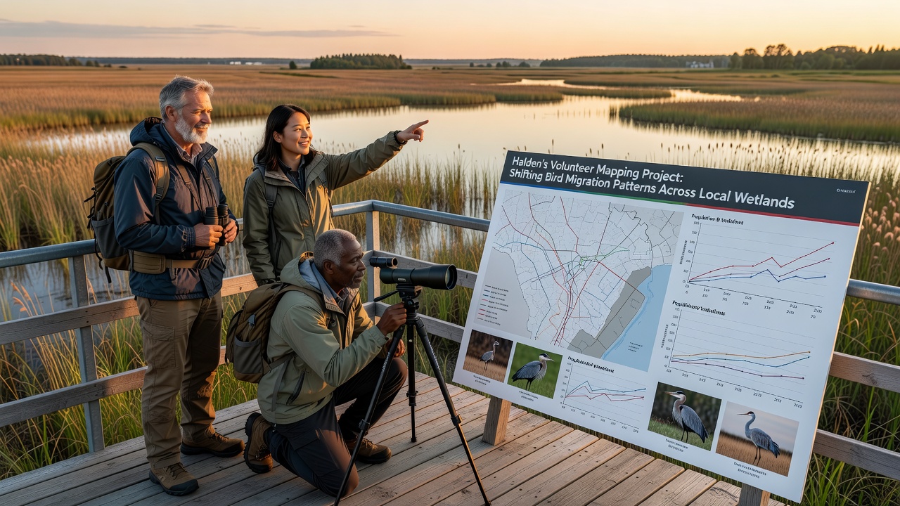
Analysis of October 2026 submissions indicates that certain wader populations now arrive approximately six to eight days later than the 2018 baseline, and researchers attribute part of this delay to variations in wind patterns and temperature gradients along the broader Scandinavian flyway. Counts of common cranes have increased in the eastern sections of the wetlands, whereas numbers of some goose species show redistribution toward northern parcels where new reed beds have formed.
Statistical comparisons performed by project analysts demonstrate a 14 percent rise in overall species diversity recorded during peak autumn weeks, and these figures align with broader European monitoring efforts coordinated through organizations such as the European Environment Agency. Temperature data collected alongside bird observations further correlates mild autumn conditions with extended stopover durations for several insectivorous species.
Integration With Regional Environmental Monitoring
Project outputs contribute to updates of the national wetlands inventory, and authorities use the volunteer-generated maps to prioritize areas for habitat restoration funding. Collaboration with the Norwegian Institute for Nature Research provides additional layers of analysis that incorporate long-term climate records, and this combined approach strengthens evidence for adaptive management strategies at the municipal level.
Regular reports shared with local planning departments highlight zones where development proposals might intersect with sensitive migration corridors, and the data supports compliance with international agreements on migratory bird conservation. Volunteers also participate in public outreach events that present findings through interactive displays and guided walks, which in turn recruit additional participants for future seasons.
Future Phases and Data Expansion
Planners intend to extend acoustic monitoring stations across additional sites in 2027, and these devices will supplement visual counts by capturing nocturnal flight calls from species that pass through without landing. Integration of drone imagery for vegetation mapping will allow finer-scale correlation between habitat features and bird distribution, and training modules will expand to include advanced data visualization tools for interested volunteers.
The accumulated records continue to feed into international databases that track flyway health across northern Europe, and comparisons with datasets from similar initiatives in Sweden and Finland provide context for regional trends. Project coordinators schedule annual reviews each December to evaluate methodology adjustments and incorporate feedback from field teams.
Conclusion
Halden's volunteer mapping project continues to generate detailed records of bird migration dynamics across local wetlands, and the October 2026 dataset adds further evidence of timing and route adjustments among multiple species. Structured observation protocols, combined with geographic mapping tools, produce information that supports both local planning and wider European conservation efforts, while ongoing expansions in monitoring techniques promise continued refinement of the collected data.